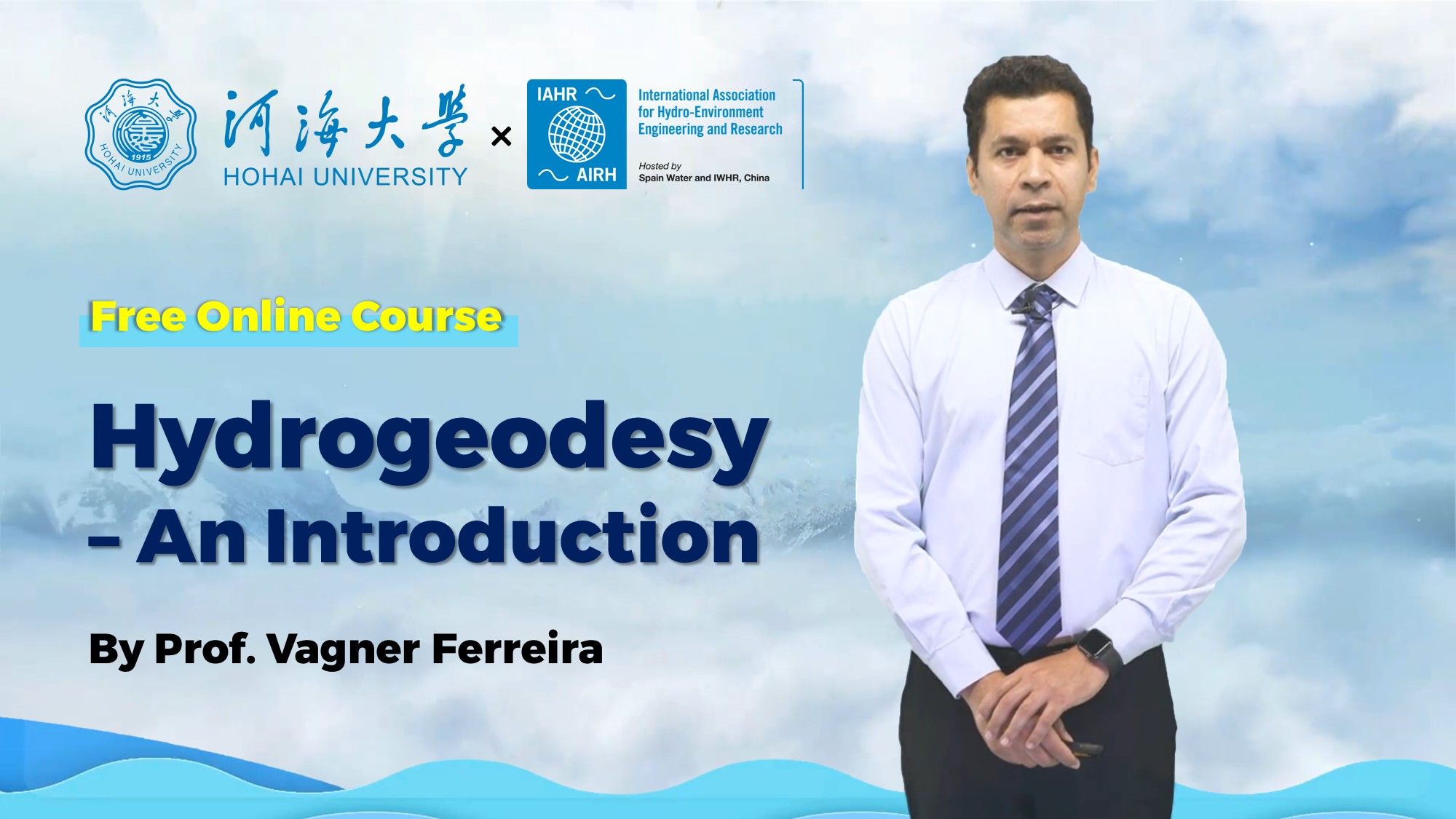
Course: Hydrogeodesy - an Introduction
« Back to list of video collections
Hydrogeodesy is an emerging field of Geodesy aiming to turn geodetic instruments into hydrological tools to quantify the distribution and movement of water on, above, and below the Earth’s surface. Existing courses on Hydrology and Geodesy mainly focus on the courses’ contents for the respective fields. Correspondingly, the interaction between the two fields is not addressed in such formal courses. The course “Hydrogeodesy: an introduction” targets students from many areas interested in knowing the fundamental geodetic concepts and an overview of the applications of the geodetic techniques in Earth system sciences.
Upon completion of this course, the learners can:
process satellite gravimetry data and estimate the land water storage changes;
use the land water storage with ancillary datasets to assess groundwater changes;
combine different satellite products to close the water budget; etc.
Typical study cases in the form of lectures allow learners to strengthen their understanding of abstract concepts and raise their interests. Additionally, by learning the contents of this course, the learners can process and use datasets from different space-borne sensors. This allows them to solve region-specific hydrological problems, which is essential for students from data-scarce regions such as Africa and South America.
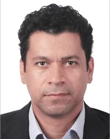
Lecturer
-
01. Introduction - Vagner Ferreira
2022-07-01 -
02. Earth's Gravity Field - Vagner Ferreira
2022-07-01 -
03. Earth's Shape - Vagner Ferreira
2022-07-01 -
04. Earth's Rotation - Vagner Ferreira
2022-07-01 -
05. International Celestial Reference Frame - Vagner Ferreira
2022-07-01 -
06. International Terrestrial Refernce Frame - Vagner Ferreira
2022-07-01 -
07. Coordinate Systems in Geodesy - Vagner Ferreira
2022-07-01 -
09. Gravity and Hydrology - Vagner Ferreira
2022-07-01 -
10. Satellite Gravimetry - Satellite Gravimetry
2022-07-01 -
11. Satellite Altimetry - Vagner Ferreira
2022-07-01 -
12. Global Navigation Satelite System (GNSS) - Vagner Ferreira
2022-07-01 -
13. Interferometric Synthetic Aperture Radar (InSAR) - Vagner Ferreira
2022-07-01

